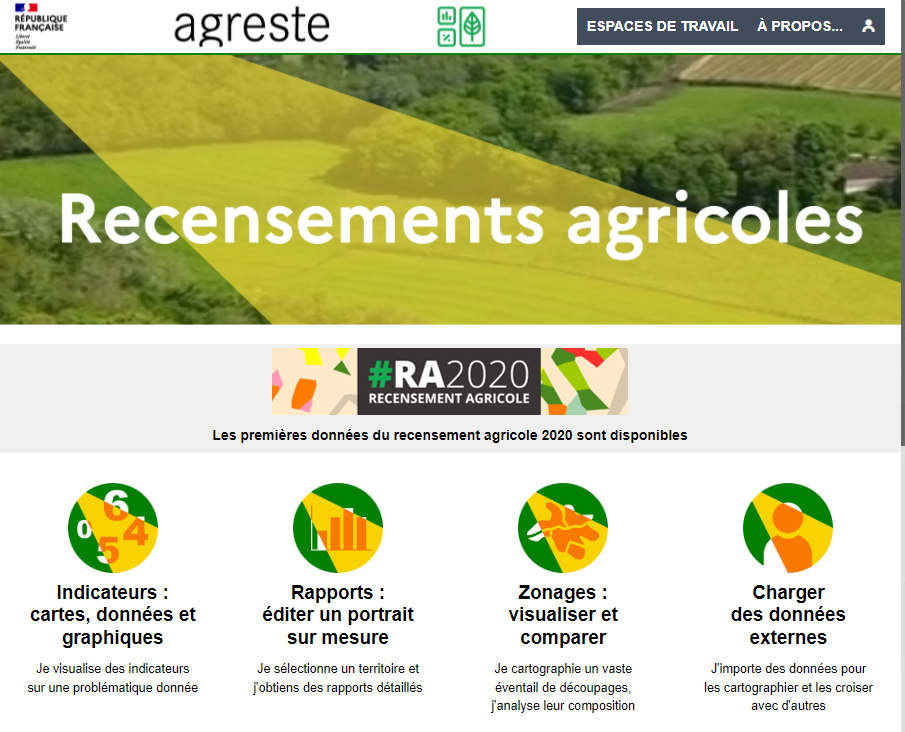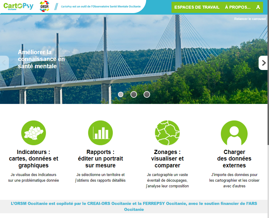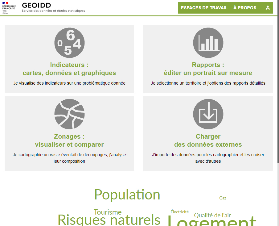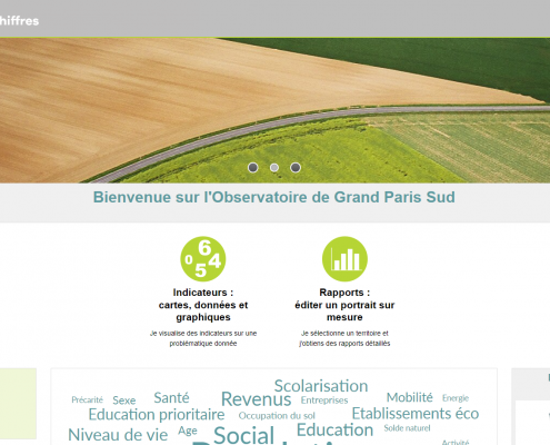


Dynamic maps and data-visualization,
online statistical software
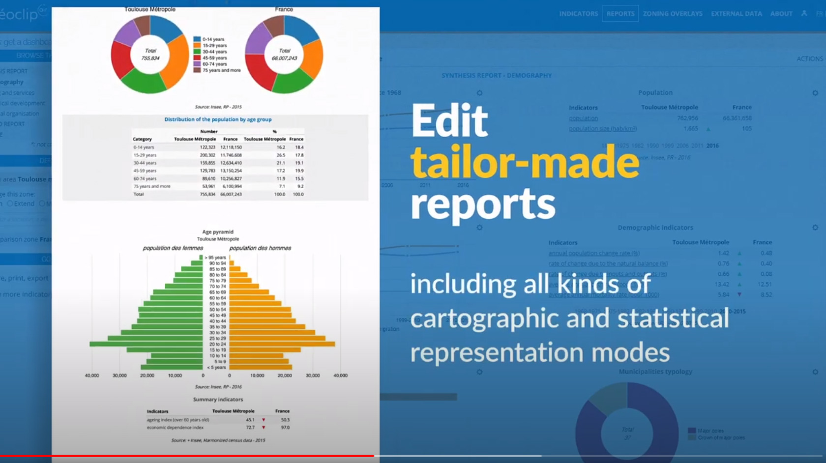
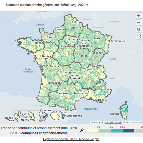
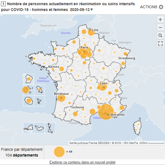
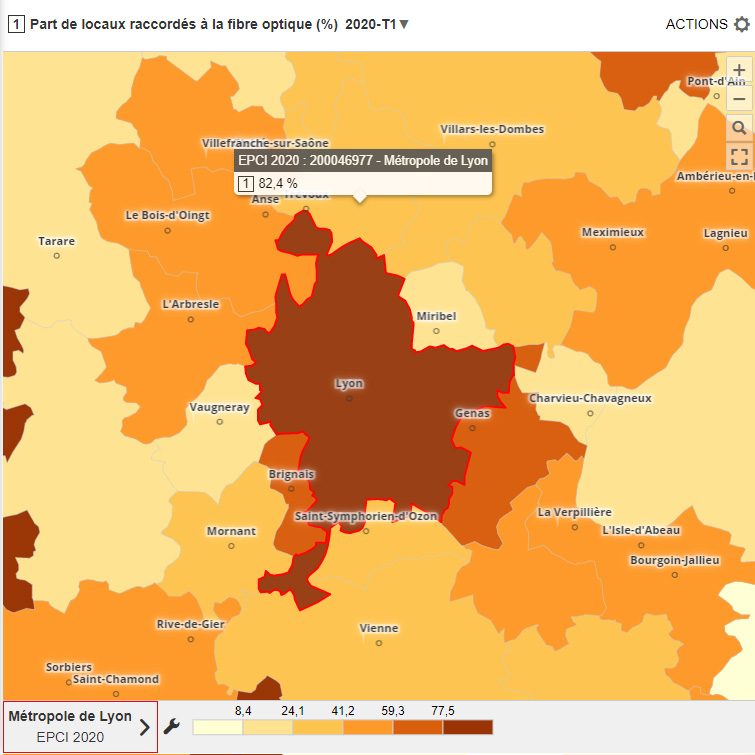
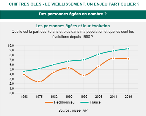
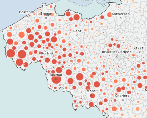
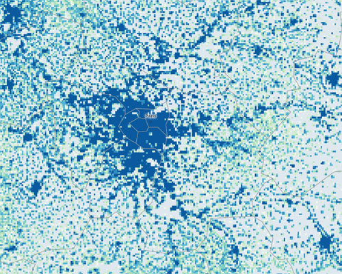
With Géoclip Air, put your location data on line, with visual maps and interactive dashboards
Truly interactive cartography, a wide range of intuitive, geographic navigation and selection tools, state-of-the-art thematic analyses, customized reports and portraits of territories.