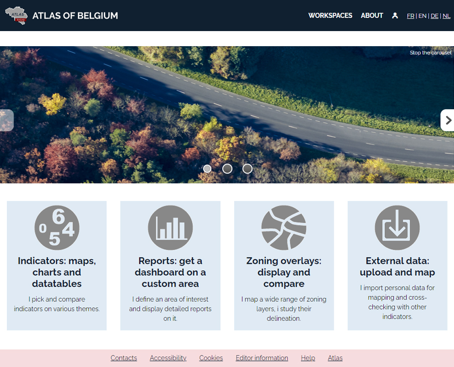
Atlas of Belgium
The Geomatics Unit of the University of Liege had published its first digital Atlas with version 2 of Géoclip Server. After several years of good and loyal service, the decision was taken by our Belgian friends to upgrade their tool to the Géoclip Air version. Here it is online, with always a wide choice of indicators in various fields: population, environment, economy, politics, etc. It is always interesting, even when you don't know a territory, to explore it from a statistical point of view. This allows you to get a few objective ideas in a few clicks and to easily go further than the major generalities that can be read in the media. It should be noted that this atlas is available in 4 languages: French, English, German and Dutch.


