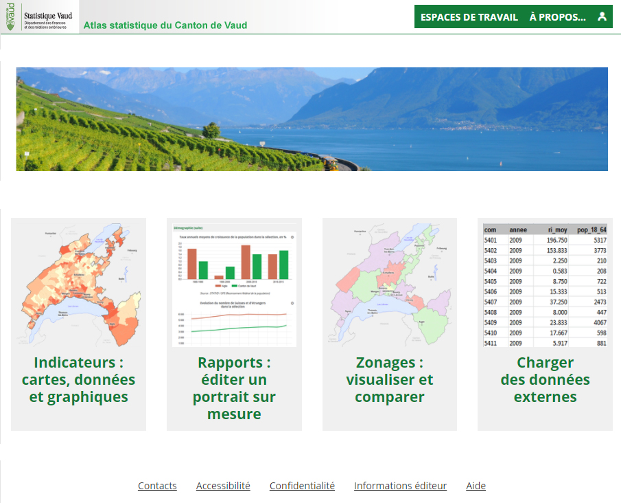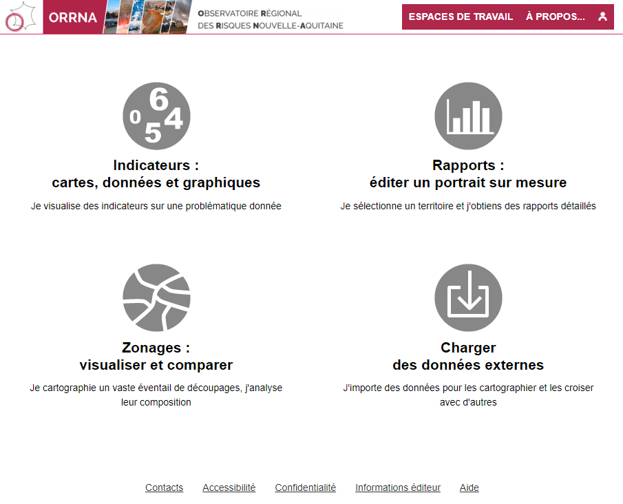
Statistical atlas of the Vaud canton (Switzerland)
"The Cantonal Statistical Research and Information Service launches a website that allows the general public to display statistical data on a cartographic medium. This new interactive tool can be consulted on http://www.scris.vd.ch/cartostat free of charge. It is intended to be particularly user-friendly and even playful for the general public and it is also a powerful tool for analysis and publication". (extract from the press release of Statistique Vaud).
The statistical atlas of the Vaud canton is one of the oldest projects with Géoclip. First published with one of the first versions of Géoclip, it has evolved with Géoclip O3, then with Géoclip Air.


