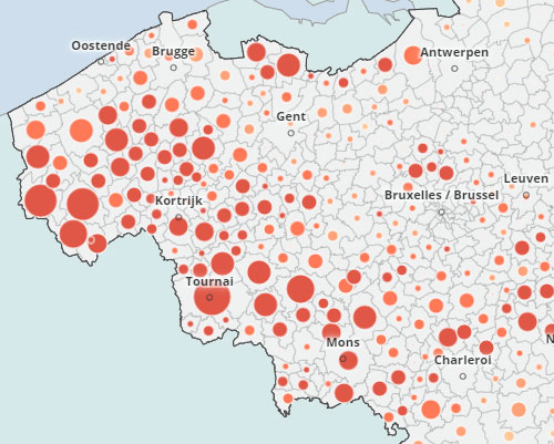
Learning how to navigate in the Digital Atlas of Belgium
Here is a video that shows in a few minutes how to use the main functions of the Digital Atlas of Belgium. This video explores the Indicators workspace and shows how to:
- choose indicators and map them,
- choose a geographic level,
- select a geographic unit,
- act on a geographical selection,
- display layers in the background,
- use the different restitution modes,
- print or save a favorite.

